Upper Midwest Environmental Sciences Center

Products and Publications - Project Status Reports Index

Project Status Reports

As of February 2005, the format for the Project Status Reports was changed to Open-File Reports in the U.S. Geological Survey Report Series.

Project Status Reports are preliminary documents from the Upper Midwest Environmental Sciences Center (UMESC) and Long Term Resource Monitoring Program. Their purpose is to provide information and preliminary results of scientific and Program activities. Because these reports are only subject to internal peer review, they may not be cited.

The Project Status Reports below are available in HTML and PDF (recommended for printing the Project Status Reports; requires Adobe Acrobat, see file types used in the UMESC web site) formats.

Available Project Status Reports

2004


  • 2004-01
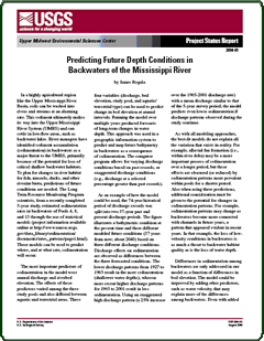
      Predicting Future Depth Conditions in Backwaters of the Mississippi River
    • .pdf file (206 KB)
Project Status Report

2003


  • 2003-01
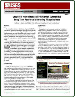
      Graphical Fish Database Browser for Synthesized Long Term Resource Monitoring Fisheries Data
    • .pdf file (1,451 K)
Project Status Report

2002


  • 2002-02
      Food Safety Research Associated with a Proposed Drug for Fish
    • .pdf file (438 K)
  • 2002-01
      Investigation of Remote Sensing Technology for Land Cover Acquisition
    • .pdf file (109 K)
Project Status Report

2001


  • 2001-01
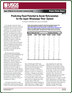
      Predicting Flood Potential to Assist Reforestation for the Upper Mississippi River System
    • .pdf file (53 K) Project page
Project Status Report

2000


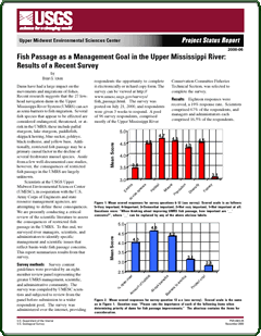
  • 2000-06 Fish Passage as a Management Goal in the Upper Mississippi River: Results of a Recent Survey
    • .pdf file (414 K)
  • 2000-05 Asian Carp Invasion of the Upper Mississippi River System
    • .pdf file (524 K)
  • 2000-04 Native Freshwater Mussels of the Upper Mississippi River System
    • .pdf file (376 K)
  • 2000-03 Abundance of Age-0 Fishes Correlated with Hydrologic Indicators
    • .pdf file (159 K)
  • 2000-02 Ecohydrology and Development of Ecological Criteria for Operation of Dams
    • .pdf file (51 K)
  • 2000-01 Distribution of Wild Rice (Zizania aquatica l.) Before and After the Flood of 1993 in Pool 8 of the Upper Mississippi River
    • .pdf file (436 K)
Project Status Report

1999

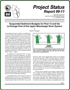
  • 1999-11 Suspended Sediment Budgets for Pool 13 and the La Grange Pool of the Upper Mississippi River System
    • .pdf file (364 K)
  • 1999-10 Recent Sedimentation Rates Behind Constructed Islands in Lake Onalaska, Pool 7, Upper Mississippi River System
    • .pdf file (47 K)
  • 1999-09 Fish Response to Lowered Summer Water Levels in St. Louis District Pools of the Upper Mississippi River
    • .pdf file (30 K)
  • 1999-08 Landscape Patterns along the Upper Mississippi River
    • .pdf file (191 K)
  • 1999-07 A Natural History of the Middle Mississippi River
    • .pdf file (104 K)
  • 1999-06 Natural History of the Red-Eared Slider Relative to a Variable Hydrologic Regime
    • .pdf file (58 K)
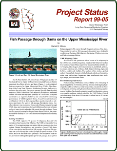
  • 1999-05 Fish Passage through Dams on the Upper Mississippi River
    • .pdf file (62 K)
  • 1999-04 The Upper Midwest Gap Analysis Program
    • .pdf file (6.1 M)
  • 1999-03R Spatial Data Query and Visualization Tool for Analyzing Upper Mississippi River System Data Sets - Beta 2.0 (Revised 2001)
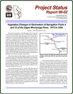
  • 1999-02 Vegetation Changes in Backwaters of Navigation Pools 4 and 13 of the Upper Mississippi River, 1975 to 1996
    • .pdf file (50 K)
  • 1999-01 Forest Response to High Duration and Intensity Flooding along Pool 26 of the Upper Mississippi River
    • .pdf file (93 K)

Project Status Report

Project Status Report

Project Status Report


1998

  • 1998-12 Agricultural Non-point Pollutant Loading Patterns in Upper Mississippi River Watersheds
    • .pdf file (45 K)
  • 1998-11 Spatial and Temporal Variability of Channel Catfish Populations in the Upper Mississippi River System
    • .pdf file (517 K)
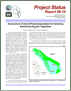
  • 1998-10 Assessment of Aerial Photointerpretation for Detecting Submersed Aquatic Vegetation
    • .pdf file (44 K)
  • 1998-09 Providing On-line Access to Oblique Aerial Photographs of the Mississippi and Illinois Rivers and their Floodplains
    • .pdf file (97 K)
  • 1998-08 An In-situ Sediment Penetrometer for the Characterization of Sediment Type and Bottom Dynamic Conditions
    • .pdf file (87 K)
  • 1998-07 Conversion of US Army Corps of Engineers Land Cover Data
    • .pdf file (150 K)
  • 1998-06 Muskrat Harvests, Water Levels, and Aquatic Vegetation on the Upper Mississippi River National Wildlife and Fish Refuge
    • .pdf file (35 K)
  • 1998-05 Recent Sedimentation Rates in the Finger Lakes Complex of the Upper Mississippi River System
    • .pdf file (153 K)
  • 1998-04 An Empirical Fingernail Clam Model for Upper Mississippi River Pools 7 and 8
    • .pdf file (163 K)
  • 1998-03 Presettlement Vegetation Patterns along Navigation Pool 17 of the Upper Mississippi River
    • .pdf file (196 K)
  • 1998-02 Spatial Patterns of Macroinvertebrates on the Upper Mississippi River System
    • .pdf file (191 K)
  • 1998-01 A GIS Model for Predicting Winter Habitat Suitability in Backwaters of the Upper Mississippi River
    • .pdf file (133 K)

Project Status Report

Project Status Report

Project Status Report


1997

  • 1997-13 Watershed Data for the Upper Mississippi River System
    • .pdf file (278 K)
  • 1997-12 Reconstructing Lake Pepin's Natural History
    • .pdf file (248 K)
  • 1997-11 Evaluating Agricultural Nonpoint Loadings on Pool 13 from Maquoketa River Watershed, Iowa
    • .pdf file (215 K)
  • 1997-10 Sediment Budgets for Two Navigation Pools of the Upper Mississippi River System
    • .pdf file (35 K)
  • 1997-09 Bathymetry Data for the Upper Mississippi River
    • .pdf file (158 K)
  • 1997-08 Estimating Fetch for Navigation Pools in the Upper Mississippi River Using a Geographical Information System
    • .pdf file (172 K)
  • 1997-07 Vegetation Response to a Water Level Experiment
    • .pdf file (35K)
  • 1997-06 Using Historical Data to Evaluate the Ecological Integrity of the Upper Mississippi River System
    • .pdf file (84 K)
  • 1997-05 Evaluation of the Hydice Sensor for Mapping Floodplain Vegetation in Navigation Pool 13, Upper Mississippi River System
    • .pdf file (40 K)
  • 1997-04 Predicting Areas Dewatered and the Likelihood of Success of a Water-level Drawdown in Pool 13
    • .pdf file (38 K)
  • 1997-03 River Levels and Largemouth Bass Populations in the Illinois River
    • .pdf file (64 K)
  • 1997-02 Longitudinal Changes in Mississippi River Floodplain Structure
    • .pdf file (37 K)
  • 1997-01 Estimating Inundation-Induced Tree Mortality Using River Water Level Data
    • .pdf file (29 K)


Project Status Report

Project Status Report

Project Status Report


1996

  • 1996-04 Fish Movement on the Upper Mississippi River
    • .pdf file (30 K)
  • 1996-03 Predicting the Effects of Water Level Management Options
    • .pdf file (67 K)
  • 1996-02 Minor Water Level Changes Important to Winter Habitat in Off-Channel Areas of the Upper Mississippi River
    • .pdf file (70 K)
  • 1996-01 Spatial Query Tool: Analyzing Long Term Resource Monitoring Program Data Using Geospatial Technology
    • .pdf file (144 K)
Project Status Report


Mention of trade names or commercial products does not constitute endorsement or recommendation for use by the U.S. Department of the Interior, U.S. Geological Survey.


Page Last Modified: April 17, 2018