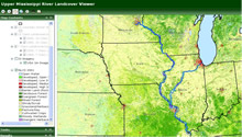
- Upper Mississippi River System Historic Map Viewer
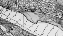
This tool allows the user to view several scanned and georeferenced historic map image mosaics. Data is available for viewing by selecting the layer list button described below, and checking the boxes next to the data layers of interest. There are other tools that allow map creation, distance and area measurements, and drawing tools.
- Submersed Aquatic Vegetation Model
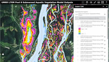
A statistical model to predict the probability of occurrence of submersed aquatic vegetation in Pool 8 of the Upper Mississippi River on the basis of a few hydrological, physical, and geomorphic variables. (Project summary)
- LTRM Spatial Data Query Tool
The Upper Mississippi River Restoration (UMRR) Program Long Term Resource Monitoring (LTRM) element has collected millions of records of information over 20+ years.
Fisheries, water quality, vegetation, and invertebrates have all been sampled. Geographic locations were collected for all sampling points.
This information has been available in data tables via the data download tools,
but has not been available to scientists, resource managers, and the public via an internet-based mapping and query application.
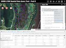
Spatial data query tools were developed that allow the query, display, mapping, and data extraction of UMRR LTRM element component data using an easy-to-use graphical
user interface.
- Long Term Resource Monitoring Data - REST Service Endpoints
REST (REpresentational State Transfer) is an architecture for exchanging information between peers in a decentralized, distributed environment. Every GIS Service published on an ArcGIS Server is considered a resource and can be accessed through a URL. This URL is known as REST endpoint.
|
|


