 |
Upper Mississippi River Restoration ProgramLong Term Resource Monitoring |
|
 |
||
Additional work under LTRM
|
The Long Term Resource Monitoring conducts monitoring and research to meet the needs of our partners. The additional projects range from study planning to data collection. Some of this work has been published, but many products are in the form of contract reports to the U.S. Army Corps of Engineers. For those projects that do not have a product that can be freely distirbuted, we provide links to the project proposals. More information can be obtained by contacting the lead listed for each component, or the principal investigator listed in the proposal.
|
||||||||||||||||||||
Hydrogeomorphic Classification and Conceptual Model
Lock closure
- Changes in aquatic vegetation cover following lock closure on the Illinois Waterway from 2019 – 2021
Floodplain forest
- Forest canopy gap dynamics: quantifying forest gaps and understanding gap – level forest regeneration in Upper Mississippi River floodplain forests
- Forest Landscape Ecology of the Upper Mississippi River Floodplain
- Ecological Assessment of High Quality Upper Mississippi River System Floodplain Forests
- Status and trends of floodplain forests on the Upper Mississippi River
- Developing Indicators of Southern Bottomland Hardwood Forest Condition within the Upper Mississippi River Ecosystem
- Next generation forest on the Upper Mississippi River floodplain
- Development of a floodplain forest restoration database for the Upper Mississippi River System: a tool for future coordinated forest management planning
- Floodplain Forest Data—These data were collected in a survey of the floodplain forests in selected reaches along the Upper Mississippi And Illinois Rivers in summer 1994. The survey was conducted to estimate tree mortality induced by the flood of 1993.
Mussels
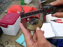
- Mussel research plan
- Development of sampling designs for estimating mussel abundances associated with HREPs
- Development of survey methods to spatially map mussel assemblages in the Upper Mississippi River System
- Movement of unionids during a planned water level drawdown in Pool 6 of the Upper Mississippi River
Birds
- Analysis of waterbird data from the Upper Mississippi River System
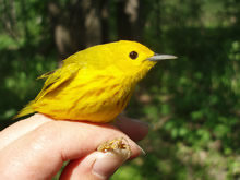
- Importance of the Upper Mississippi River Forest Corridor to Neotropical Migratory Birds
Hydraulic modeling
- Development of two-dimensional numerical hydraulic models for Mississippi River Pool 13 and Illinois River La Grange Pool in support of the LTRM
- Development of two-dimensional Numerical Hydraulic Models for Mississippi River Pools 17 and 18 in Support of the LTRM
Sediment budgets
Sedimentation
Landscape Ecology
- Landscape Indicators
Page Last Modified: February 8, 2024


