Upper Mississippi River Restoration Program

Upper Mississippi River Restoration Program

Long Term Resource Monitoring


GIS data and photography served by LTRM


Aquatic Features and Navigation Structure
Bathymetry
Topobathy
Land Cover/Use Data
Light Detection And Ranging (Lidar)
Maps, Quadrangles, and Figures
Photography and Video


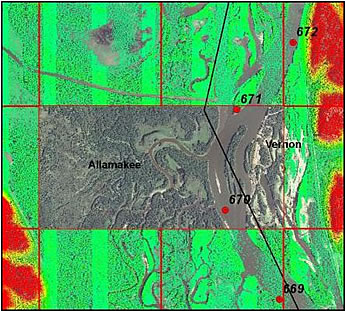
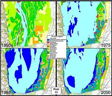
In addition to land cover and bathymetry, LTRM has generated other GIS datasets for the Upper Mississippi River System (UMRS). The LTRM also serves GIS data developed through Environmental Management Program, as well as relevant data from other sources. Aerial photography of the UMRS is also served on-line. Please click the links at left to get more information on or download GIS data produced at UMESC.

GIS imageGIS image

Point of contact: Larry Robinson

Accessibility FOIA Privacy Policies and Notices

Take Pride in America logo USA.gov logo U.S. Department of the Interior | U.S. Geological Survey


Page Last Modified: April 2, 2018 US Army Corps of Engineers USGS Upper Midwest Environmental Sciences Center US Fish and Wildlife Service U.S. Department of Agriculture Natural Resources Conservation Service Minnesota DNR Wisconsin DNR Iowa DNR Illinois Natural History Survey Missouri DC U.S. Environmental Protection Agency