
 |
Upper Mississippi River Restoration ProgramLong Term Resource Monitoring |
|
| |
||
The Upper Mississippi River Restoration ProgramLong Term Resource MonitoringLand Cover/Use
Data |
 |
|
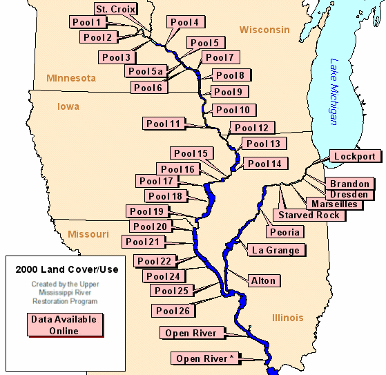
2000 Land Cover/Use - created by - |
|
Data are available for the following areas:
|
Mississippi River
|
Illinois River
|
St. Croix River | ||
|
||||
The following image contains links to thumbnail images of the data sets. The thumb nails, higher resolution images, and the data sets themselves are available through the Upper Mississippi and Illinois River GIS data pages (listed above).

Page Last Modified: December 1, 2015