Upper Mississippi River Restoration Program

Upper Mississippi River Restoration Program

Long Term Resource Monitoring


1997 Oblique Photos


Photography and Video

Data are available for the following areas:

  Mississippi River States  
Upper Mississippi River Navigation Pools
  Illinois River Navigation Pools  


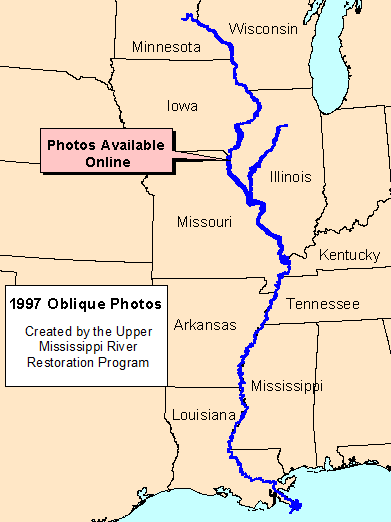
In 1997 the Upper Midwest Environmental Sciences Center made three flights along the Mississippi and Illinois Rivers for an inventory project. During these flights two individuals collected 35mm oblique slides of the river. The slides were scanned at 600 and 1500dpi and placed online as a way to inventory and sort the images for the Center's use, and provide access to others.

Available 1989 LCU Data


Accessibility FOIA Privacy Policies and Notices

Take Pride in America logo USA.gov logo U.S. Department of the Interior | U.S. Geological Survey


Page Last Modified: April 3, 2018 US Army Corps of Engineers USGS Upper Midwest Environmental Sciences Center US Fish and Wildlife Service U.S. Environmental Protection Agency U.S. Department of Agriculture Natural Resources Conservation Service Minnesota DNR Wisconsin DNR Iowa DNR Illinois Natural History Survey Missouri DC