
 |
Upper Mississippi River Restoration ProgramLong Term Resource Monitoring |
|
| |
||
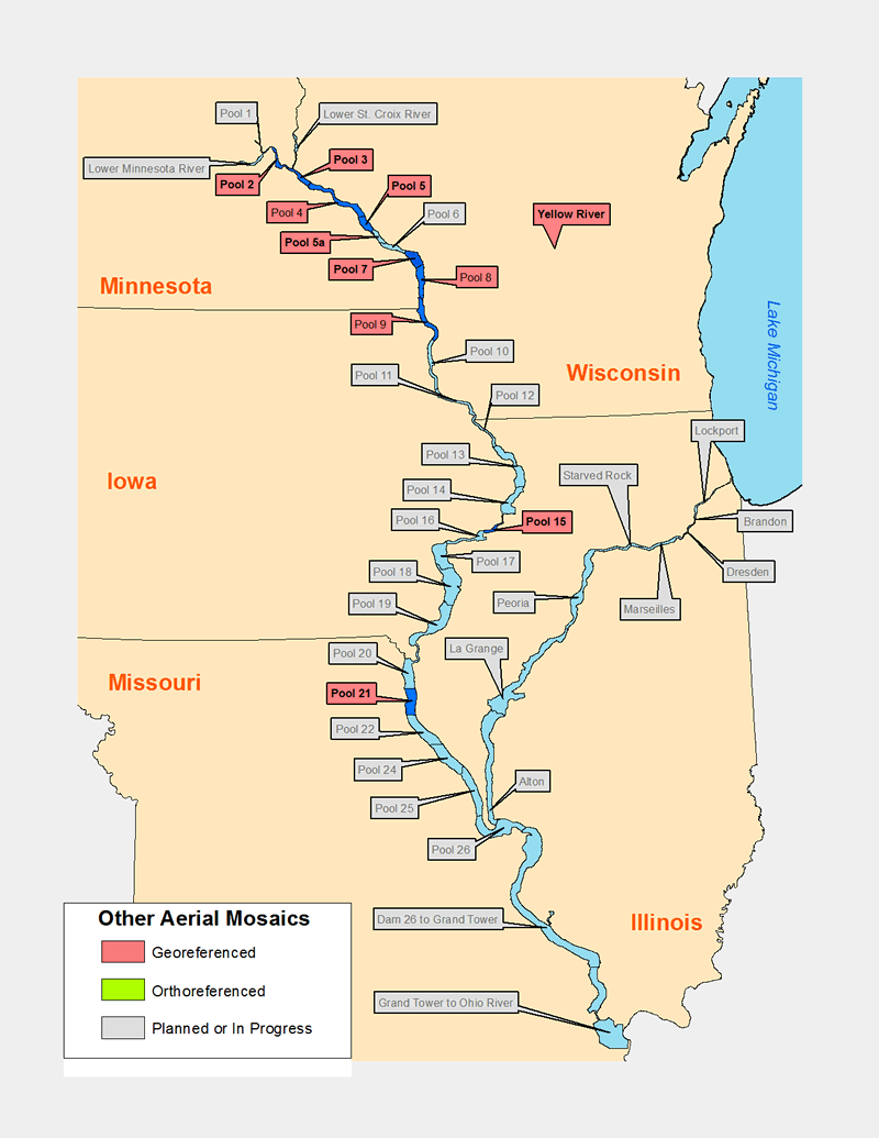
Aerial photo mosaics for selected areas |
Data are available for the following areas
Mississippi River |
Yellow River | ||
On occasion, the Upper Midwest Environmental Sciences Center is asked to scan and georeference aerial photography to support a project. As these data are created they're also placed online so others can use them as well. Most are served as compressed .sid images, a free image viewer capable of subsetting, resampling, and exporting the compressed images to georeferenced TIFF images (a .tif image and a .tfw world file) is available.

Page Last Modified: April 3, 2018