Upper Midwest Environmental Sciences Center

UMESC Gallery
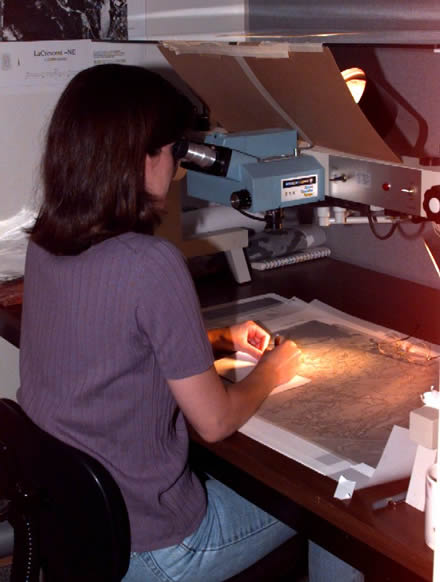
Scientist Janis Ruhser interprets aerial photographs: Full resolution
Photo by USGS, UMESC, 1998
Usage: This image is public domain/of free use. Please refer to the USGS Copyright section for more details.


