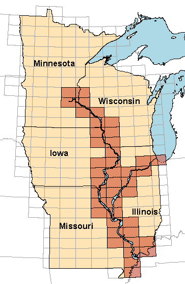
Digital Raster GraphicsScanned and registered images of USGS quadrangles
|
|
Digital raster graphic (DRG) files are
being redistributed through this Web site as a service to program partners of
the Upper Midwest Environmental Sciences Center. The 1:24,000-scale DRG files
for the Upper Mississippi River floodplain have been modified, their maps collars
have been removed and a buffer strip of neighboring quadrangle data added to the
images. These modifications were performed to make it easier for users to create
mosaic images from several images. If you require these data in their original
format, contact the EROS
Data Center.
For more information on digital raster graphics including a
listing of Web sites that distribute DRG files through the Internet, contact the Mid-continent Mapping Center in
Rolla, Missouri.


