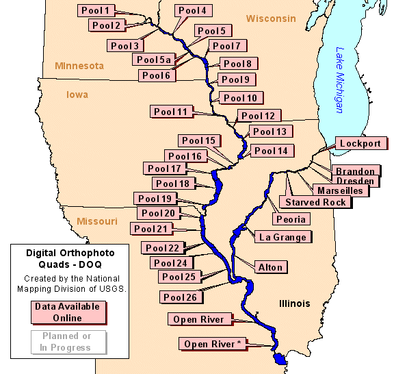
Digital Orthophoto Quadrangles (DOQ)Scanned and geometrically rectified images of aerial photographs |
|
In 1998 the Upper Midwest Environmental Sciences Center (UMESC) began aquiring digital orthophoto quadrangles (DOQ) for the Upper Mississippi River floodplain to georeference the center's aerial photography and land cover/use data. As these data become available, the files are compressed and placed online so others can also use them.
All files are distributed as compressed images as the original DOQ files are approximately approximately 40-45 megabytes in size. A free image viewer capable of subsetting, resampling, and exporting the compressed images to georeferenced TIFF images (a .tif image and a .tfw world file) is available. If you require these data in their original format, contact the EROS Data Center. The following states also serve DOQ data files; Illinois, Iowa, and Minnesota.

|
Mississippi River
|
||
|
||
|
Illinois River
|
Page Last Modified: April 17, 2018

