
1890's Map Plates - Georeferenced Images of Maps Produced by the Mississippi River Commission - created by - |
|

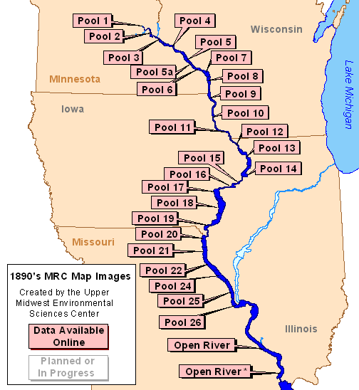
Data are available for the following areas:
Mississippi River |
||||
|
||||
Page Last Modified: April 17, 2018
The .gov means it’s official.
Federal government websites often end in .gov or .mil. Before sharing sensitive
information, make sure you’re on a federal government site.
The site is secure.
The https:// ensures that you are connecting to the official website
and that any information you provide is encrypted and transmitted securely.
1890's Map Plates - Georeferenced Images of Maps Produced by the Mississippi River Commission - created by - |
|
Data are available for the following areas:
Mississippi River |
||||
|
||||