Upper Midwest Environmental Sciences Center

Iowa GIS Data
Dot gov

The .gov means it’s official.
Federal government websites often end in .gov or .mil. Before sharing sensitive information, make sure you’re on a federal government site.

Https

The site is secure.
The https:// ensures that you are connecting to the official website and that any information you provide is encrypted and transmitted securely.

Iowa GIS Data

Data sets are sorted and stored by 1:100,000-scale USGS quadrangle tiles.

Iowa GIS data Keokuk Centerville Burlington Galesburg Aledo Muscatine Iowa City Davenport Dubuque South Anamosa Oelwein Dubuque North Decorah

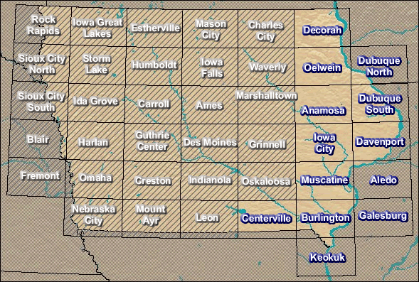
Iowa GIS Data - Select a 100K tile.


Page Last Modified: April 3, 2018