
Illinois River - La Grange Reach
| UMESC Projects | 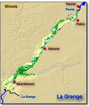 |
|
| Aerial Photos | ||
| GIS Data | ||
| Long Term Resource Monitoring Program Field Station - Havana | ||
|
||
Page Last Modified: April 17, 2018
The .gov means it’s official.
Federal government websites often end in .gov or .mil. Before sharing sensitive
information, make sure you’re on a federal government site.
The site is secure.
The https:// ensures that you are connecting to the official website
and that any information you provide is encrypted and transmitted securely.
| UMESC Projects | |
|
| Aerial Photos | ||
| GIS Data | ||
| Long Term Resource Monitoring Program Field Station - Havana | ||
|
||