Upper Midwest Environmental Sciences Center

UMESC Aerial Photo Server - Select a State
Dot gov

The .gov means it’s official.
Federal government websites often end in .gov or .mil. Before sharing sensitive information, make sure you’re on a federal government site.

Https

The site is secure.
The https:// ensures that you are connecting to the official website and that any information you provide is encrypted and transmitted securely.

folder.gifData Library
Photography and Video

1994 Color Infrared Photos
S
elect a State

Links to the aerial photos are listed on Web pages that correspond to the boundaries of 1:24,000-scale USGS quadrangles (24K tiles).
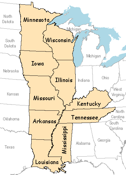
Links to state pages
Available State Pages
Arkansas Louisiana Tennessee
Illinois Minnesota Wisconsin
Iowa Mississippi


Kentucky Missouri  

UMESC Home


Page Last Modified: April 17, 2018