
Bathymetric Surveys and Generation of a Geographic Information System Data Set for Selected Pools of the Upper Mississippi River System
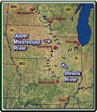 |
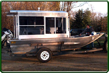
Water depth, a function of water surface elevation and bed elevation, is one of the basic physical characteristics that affects all aquatic life. Information–such as habitat abundance, current velocities estimated from models, and changes in bed elevation–can be obtained using bathymetric data. The Upper Midwest Environmental Sciences Center, through funding from the Long Term Resource Monitoring Program, has generated bathymetric maps for selected pools on the Upper Mississippi River System. Maps are generated by data interpolation between spatially dense data points of water depth. Most data are collected with an automated survey system using a global positioning system and digitized echo soundings. |
 The
data are stored in a geographic information system for efficient data
management, analysis, and map generation. Geographic information system
programs have been written for extracting water depth data, estimating
bathymetry at various discharge conditions, and producing standard hardcopy
maps of the data. Resource managers have used the bathymetric data generated
by this project to assess a variety of management opportunities.
The
data are stored in a geographic information system for efficient data
management, analysis, and map generation. Geographic information system
programs have been written for extracting water depth data, estimating
bathymetry at various discharge conditions, and producing standard hardcopy
maps of the data. Resource managers have used the bathymetric data generated
by this project to assess a variety of management opportunities.
This project was completed in September 2001.
Principal Investigator: Jim Rogala
Page Last Modified: April 3, 2018