
Illinois GIS Data
Data sets are sorted and stored by 1:100,000-scale USGS quadrangle tiles.
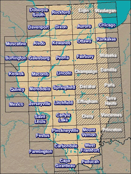
Illinois GIS Data - Select a 100K tile.
Page Last Modified: April 3, 2018
The .gov means it’s official.
Federal government websites often end in .gov or .mil. Before sharing sensitive
information, make sure you’re on a federal government site.
The site is secure.
The https:// ensures that you are connecting to the official website
and that any information you provide is encrypted and transmitted securely.
Illinois GIS Data - Select a 100K tile.