
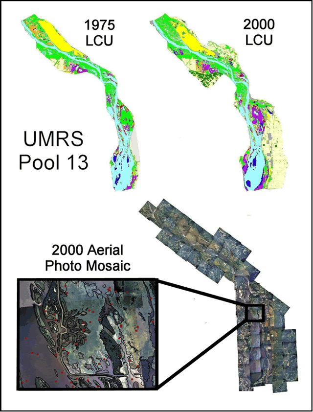
| Figure 9. | Land cover/land use (LCU) data for Pool 13, Upper Mississippi River System (UMRS). |
 |
|
Page Last Modified: April 17, 2018
The .gov means it’s official.
Federal government websites often end in .gov or .mil. Before sharing sensitive
information, make sure you’re on a federal government site.
The site is secure.
The https:// ensures that you are connecting to the official website
and that any information you provide is encrypted and transmitted securely.
| Figure 9. | Land cover/land use (LCU) data for Pool 13, Upper Mississippi River System (UMRS). |
|
|