Upper Midwest Environmental Sciences Center

1994 Color Infrared Photos for Evansville, IL
Dot gov

The .gov means it’s official.
Federal government websites often end in .gov or .mil. Before sharing sensitive information, make sure you’re on a federal government site.

Https

The site is secure.
The https:// ensures that you are connecting to the official website and that any information you provide is encrypted and transmitted securely.

Pinckneyville, IL

100K Quadrangle Selection Tile - UMESC Aerial Photo Server

Saint Louis Carlyle Lake Olney
Festus
Pinckneyville Mount Vernon
Farmington Carbondale West Frankfort

Select a 24K tile. The 24K quadrangle tiles contain links to aerial photographs.

Links to 24K Tiles

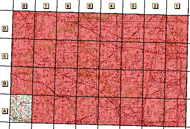
Available 1:24,000-scale Quadrangle Tiles

Grid Code 24K Quadrangle Name 1994 Color Infrared Aerial Photographs  1997 Color Oblique Photos 
A-8  Evansville, IL available available

UMESC HomeIllinoisPool 19


Page Last Modified: April 17, 2018