 |
Upper Mississippi River Restoration ProgramLong Term Resource Monitoring |
|
 |
||
Land Water Shape Files |
|
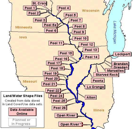
Land/water is one of the classification attributes in the land cover/use data sets created by UMESC from aerial photography. These data are redistributed here as shape files with the boundaries of the region's 1:24,000-scale USGS quadrangles added to the data. This has been done because individuals working with ArcView have reported numerous problems if they attempt to perform a dissolve on the land cover/use data to create a land/water only shape files. Most printers cannot process the detailed land/water boundaries unless some form of a break line or lines are added.
Data are available for the following areas:
|
Mississippi River
|
||
|---|---|---|
|
||
| Illinois River |
Saint Croix River |
|

Page Last Modified: April 12, 2018


